[cross-posted from http://history.rutgers.edu/]
Black Atlantic Seminar
Visualizing Abolition: Integrating West Africa Historical GIS
Henry Lovejoy, Assistant Professor, University of Colorado-Boulder
April 13th, 4:30-6:00 pm
Brower Commons, Room A & B, 2nd floor
145 College Ave., New Brunswick, NJ
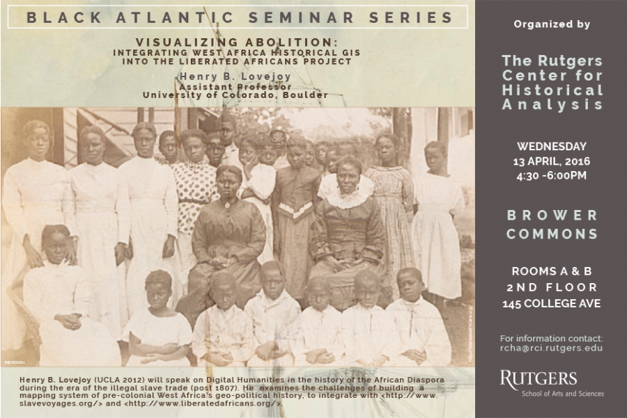
The coordinators of the Black Atlantic Seminar invite you to a talk on a new historical GIS project by Dr. Henry Lovejoy (U. of Colorado-Boulder) – Visualizing Abolition: Integrating West Africa Historical GIS with The Trans-Atlantic Slave Trade Database and The Database and The Liberated Africans Project. The talk will discuss the approaches, strategies and challenges of the “West Africa Historical GIS Project,” an open access and crowdsourced digital project that features a map interface documenting West Africa’s geopolitical history during the slave trade. [Draft paper and data available through Sakai.] Dr. Lovejoy has worked with David Eltis on the Transatlantic Slave Trade Database, which surveyed over 36,000 voyages of over 250 fields of information and is the principal investigator of the Liberated Africans Project funded by the Hutchins Center of Harvard University. The project has data on over 200,000 ‘recaptured slaves,’ released from ships seized by Britain’s Royal Navy. The ships were taken to the British Courts of Mixed Commissions in Brazil, Cuba and Sierra Leone, which is the source of the data on origins and identities of these slaves.
Henry Lovejoy is the website designer of the Liberated Africans Project. He received his Ph.D. in Atlantic History from the University of California, Los Angeles in 2012. He works on slavery in Cuba with special focus on the Yoruba (“Lucumi”) population. He has published in the Canadian Journal of African Studies, Slavery and Abolition and the Journal of African History. His book Slavery, Freedom and Empire: Juan Nepomuceno Prieto of the Lucumí Nation in Cuba during the Age of Revolution is forthcoming in the Envisioning Cuba Series of UNC Press. He has held research fellowships with the Social Sciences and Humanities Research Council of Canada, Fulbright-Hays, among others, as well as being involved in digitization projects in Cuba and Brazil funded by the National Endowment for the Humanities and British Library: Endangered Archives Programme.
The West Africa Historical GIS Project is an example of the virtual explosion of digital humanities production in African Diaspora Studies stimulated by the Transatlantic Slave Trade Database . Slave Voyages suggested new possibilities to deepen our understanding of the slave trade for African and diasporic history and encouraged a collaborative network of scholars from both sides of the Atlantic. It is not surprising that the first historical example of international trade/globalization – the slave trade – would become the focus of Atlantic historians initial forays into digital humanities. The West Africa Historical GIS Project and The Liberated Africans Project are both initiatives to actually IDENTIFY the point of origin of slaves and create a MASSIVE biographical database. On Wednesday March 23rd Roseanne Adderley ‘s (Tulane) paper, ‘Writing African, Atlantic, Anti-Slavery Biography from British Military Records: the Case of West India Regiment Soldiers Stationed at Havana ” was a related contribution to the biographical project. We hope that you will join us for this stimulating discussion.
Seminar Coordinators
Carolyn A. Brown
Donna Murch
Marisa Fuentes

